What Drives Evacuation? Causal Evidence from Mobile Phone Data During Wildfires
Featured in GSMA's 2026 report Mobile Data for Humanitarian Action: Pathways to Sustained and Responsible Data Use (GSMA Mobile for Development / M4H), as part of the Telefónica Chile case study. [Read more here]
In collaboration with Timur Naushirvanov, Erick Elejalde, Elisa Omodei, Márton Karsai, and Leo Ferres.
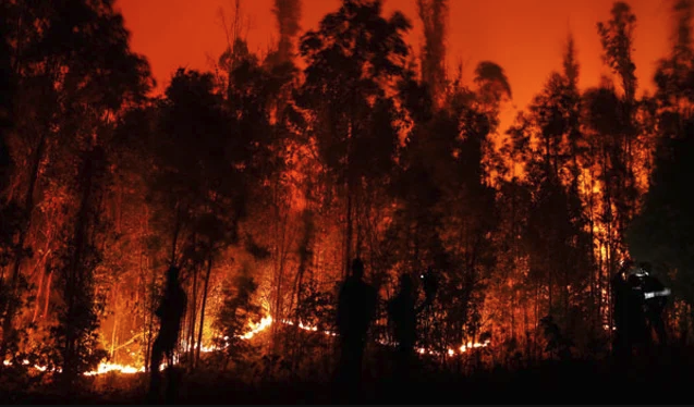
This project comprises two complementary studies of the February 2–3, 2024 wildfires in Valparaíso, Chile. Both go beyond describing population movement to causally isolating the forces that shaped it — the wildfire's differential impact across socioeconomic groups, and the effect of the emergency alerts themselves — using high-definition mobile network data. Together they show how a single mobility dataset can speak to both who was most exposed and how emergency communication actually performed.
Evacuation patterns and socioeconomic stratification. Applying a causal-inference design that combines regression discontinuity and difference-in-differences, we isolate the wildfire's impact across income groups. We find that many people spent nights away from home, with the lowest socioeconomic group staying away the longest. Overall, people reduced their mean and median night-to-night travel distances during the evacuation, and movements that were initially irregular later re-concentrated in areas of similar socioeconomic status — evidence that the shock reinforced existing spatial divides. We also demonstrate the comparability of mobile phone records to Facebook Disaster Maps, which offer only coarser time resolution and are generated only after the wildfire onset.
Naushirvanov, T., Elejalde, E., Kalimeri, K., Omodei, E., Karsai, M., & Ferres, L. (2025). Evacuation patterns and socioeconomic stratification in the context of wildfires. EPJ Data Science, 14, 23. DOI: 10.1140/epjds/s13688-025-00540-2 — Read the full article here.
Use of mobile phone data to measure behavioral response to SMS evacuation alerts. Using anonymized mobile network data from 580,000 devices, we analyse population movement following emergency SMS notifications. Three patterns emerge: (1) the initial alert triggers an immediate response — connectivity drops ~80% within 1.5 hours — while subsequent messages show diminishing effects; (2) substantial evacuation also occurs in non-warned areas, indicating potential transportation congestion; and (3) socioeconomic disparities shape evacuation timing, with higher-income areas evacuating faster and showing less differentiation between warned and non-warned locations. The findings point to targeted, socioeconomically calibrated, and staged evacuation messaging to improve public safety during crises.
Elejalde, E., Naushirvanov, T., Kalimeri, K., Omodei, E., Karsai, M., Bravo, L., & Ferres, L. (2025). Use of mobile phone data to measure behavioral response to SMS evacuation alerts. International Journal of Disaster Risk Reduction DOI: https://doi.org/10.1016/j.ijdrr.2025.105919. Read the full article here.
Selected Works
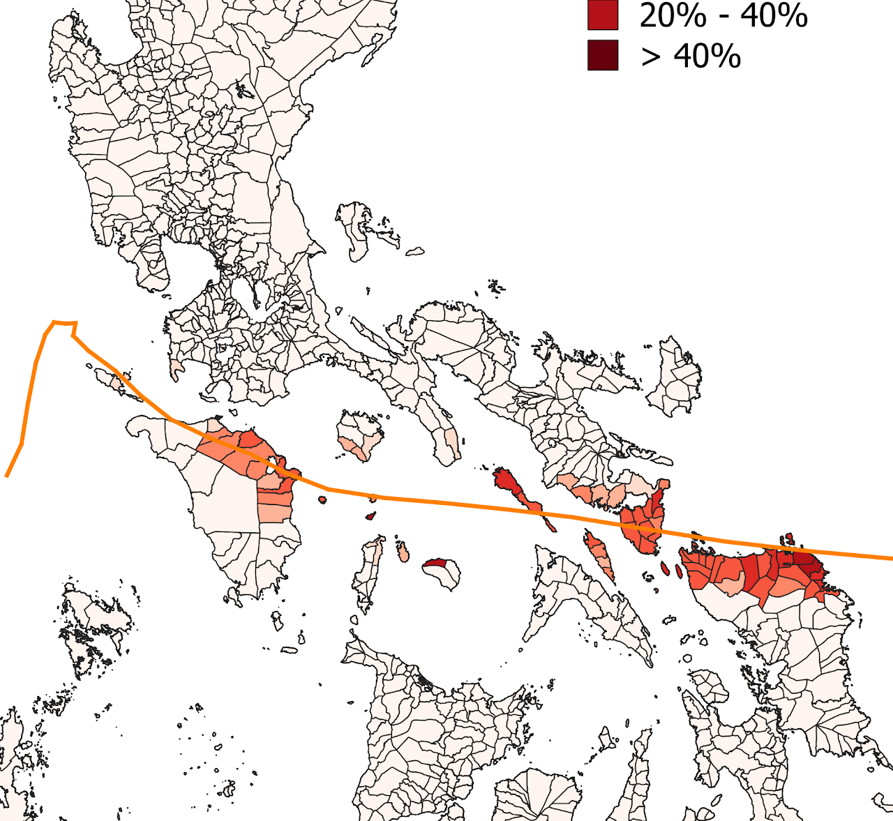
Evacuation Alerts and Socioeconomic Inequalities#HumanitarianAI
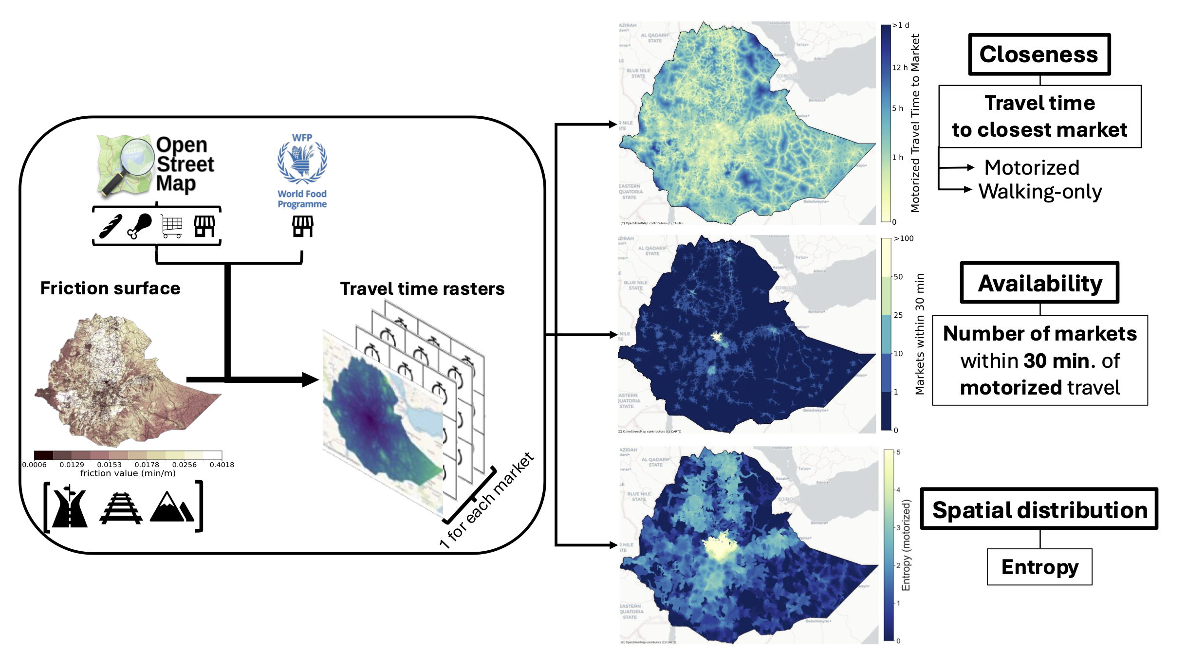
Accessibility to Marketplaces in Africa#HumanitarianAI

Moral Expression in Different Domains#MoralValues

Political Influence on Vaccination#VaccineHesitancy
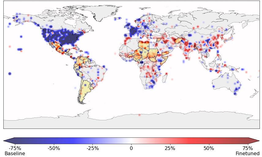
Geolocating Humanitarian Documents#HumanitarianAI
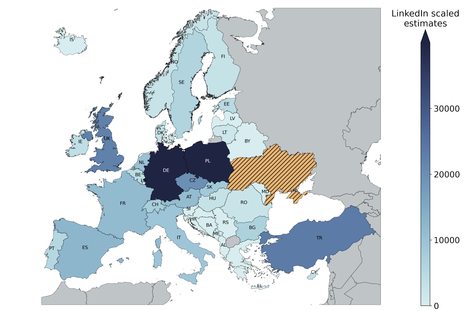
Monitoring Ukrainian Immigration via LinkedIn Estimates#SocialInequalities

Evolution of moral expression in song lyrics#MoralValues
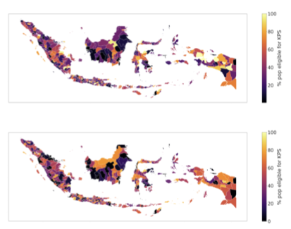
Poverty Index in Indonesia#HumanitarianAI